Last Saturday, Daniel and I finally got around to doing the classic loop hike of Old Rag. Daniel had been talking about it for a while, and we had a good opportunity to do it, so we did.
Old Rag is known as one of the most popular hikes in Shenandoah National Park, and I can see why! The views from the summit are fantastic. Old Rag stands just east of the Blue Ridge, so from the summit you can either look east over the piedmont farmlands, or (more impressively) west towards the Blue Ridge, where you can take in the sight of a series of peaks (and glimpses of Skyline Drive). But perhaps more important than the view from the top is the route to the top. It was a demanding climb, for me—I was exhausted by the end of the nine-mile loop, after ascending 2000+ feet and then hiking the long descent, which takes a whole different group of muscles, it seems—but it was also technically very interesting.
If you were to design a granite obstacle course to give hikers every possible way of getting over, under, around, across, between, and through the rocks (but without the need for special rock-climbing gear), you’d come up with something similar to the Old Rag Ridge Trail. I wish I’d been able to get pictures of every variation on the dikes, boulders, caves, crevices, footholds, and handholds we encountered, but I was busy using my hands to climb, and I didn’t want my camera swinging from my wrist and bashing into the granite at every turn! Moreover, it was a very busy day on the mountain; at one bottleneck, we waited about 20 – 30 minutes for the single-file line of hikers ahead of us to proceed through an especially difficult notch in the rocks. If I paused to take a picture at every point of interest, I’d be holding up the line. With a little Googling, you can find photos of some of the interesting features of the trail on other people’s websites. My personal favorite, and one of the first features of the granite outcrop that we encountered on the hike, was the natural staircase with a hanging “guillotine” boulder overhead. The trail climbs the steps and squeezes under the boulder. Another much-photographed feature is a huge boulder that appears to be inadequately supported. The trail runs past this boulder (not right under it) but Daniel and I didn’t really have time to stop and clown around for pictures.
Before you get to the really interesting rock features (and technically challenging parts of the climb), there’s a long uphill slog where you just follow the trail through the woods, steadily gaining elevation. Shortly before getting to the really exposed granite areas, you are rewarded for your climb with a few peeks through the trees at the Blue Ridge:
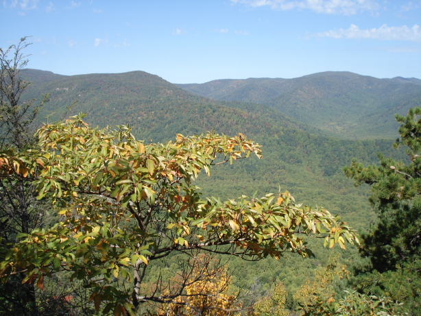
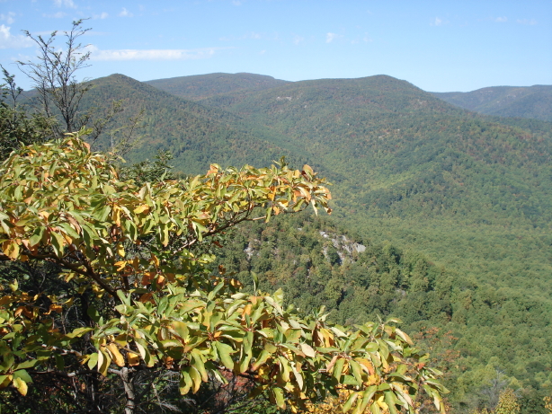
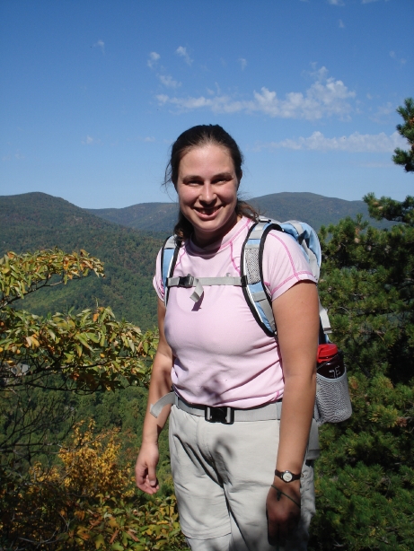
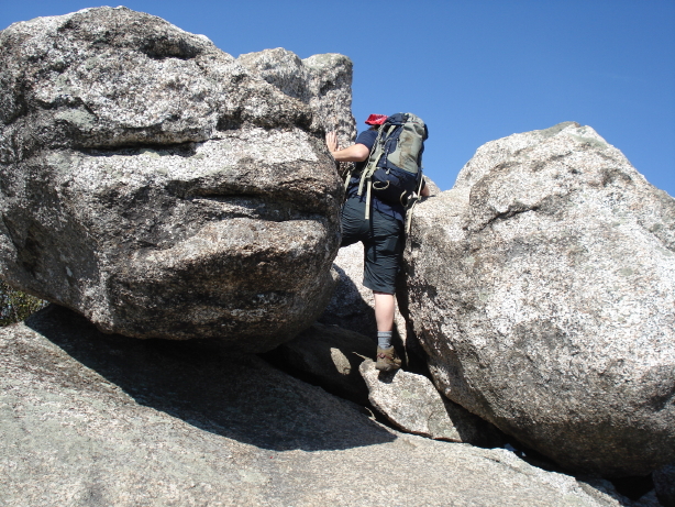
Then you get to the first and most interesting rock scrambling portion of the trail. It takes you through caves and up “chimneys” and up the natural staircase and over boulders and all over a wonderful granite obstacle course. There was just one place where, when Daniel and I made our hike together, there was a 10′ or 12′ piece of rope installed to help you haul yourself up a chimney (I might not be using the right technical term for the near-vertical slot in the rock). Daniel said he didn’t remember the rope from his previous climbs. I would have had a LOT of difficulty making it up that particular passage without the rope.
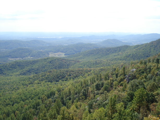
Somewhere in the middle of the rock scramble, you are rewarded again with great views of the piedmont to the east as well as the surrounding outcrops of granite on Old Rag.
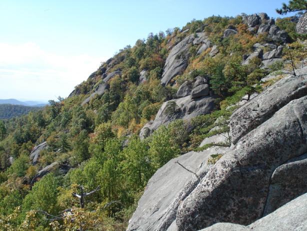

View to the east, looking out over the piedmont and the Sperryville-area farms.
More piedmont.
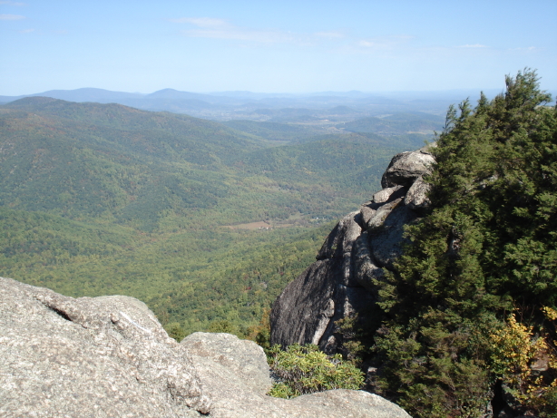
After you gain some more altitude, you arrive at a “false summit” with pretty great views and nice boulders to rest on.
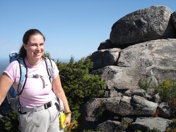
After a little more rock scrambling—mostly scuttling over and between boulders, rather than hauling yourself up dikes‚you come to a sign alerting you to the proximity of the REAL summit.
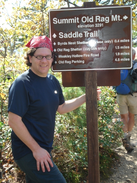
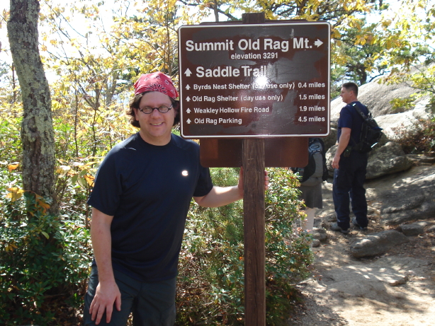
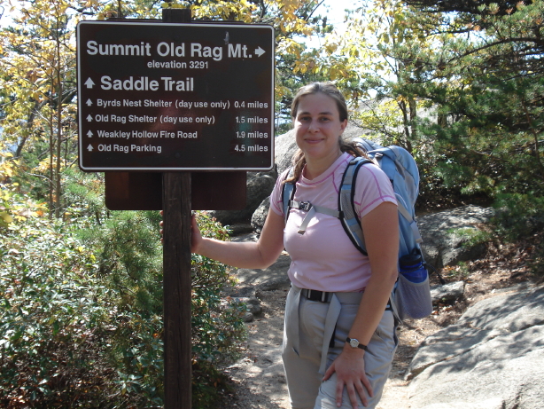
We made it!
Views from the true summit (where we stopped to eat our lunch) are, as I mentioned, quite impressive.
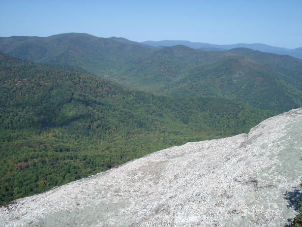
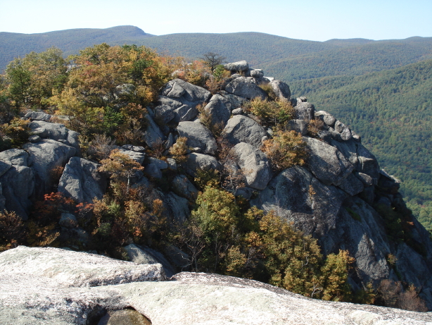
Here’s a jumpy video I made of a near-360-degree panorama of the scene at the summit.
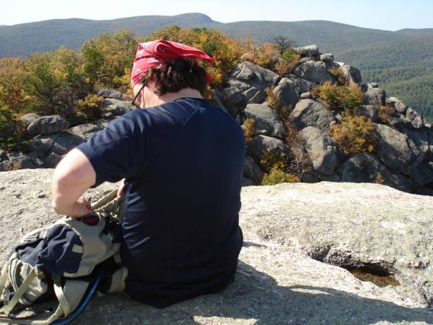
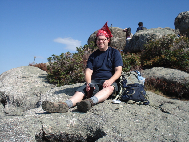
Lunchtime!
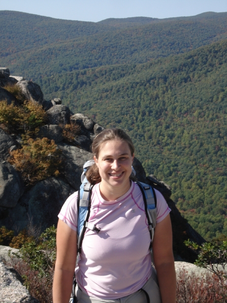
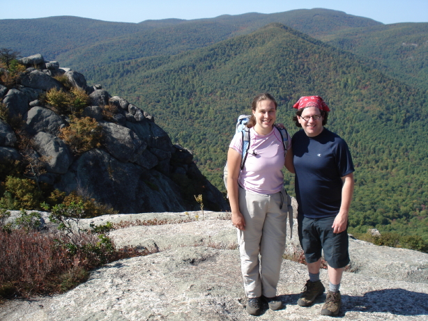
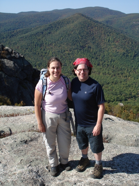
After lunch, we posed for pictures and got some photographic assistance from fellow hikers.
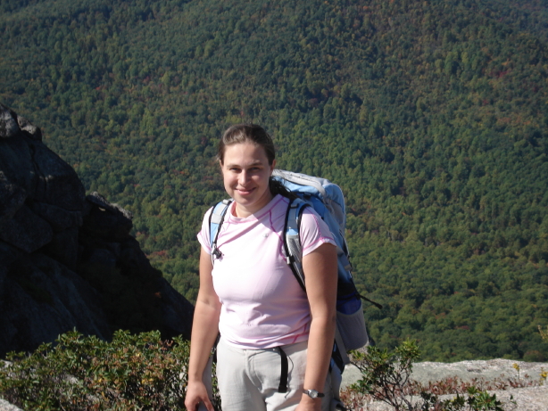
Also at the summit, there was a jumble of large boulders, which Daniel took the opportunity to climb and pose on.
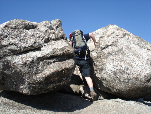
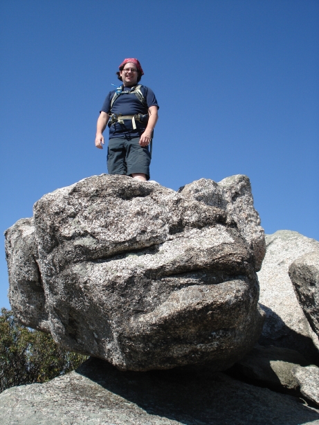
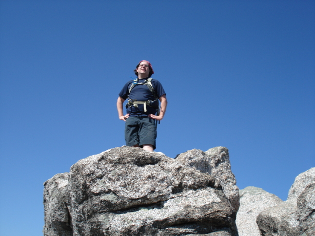
King of the mountain!
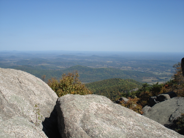
View from near the boulders.
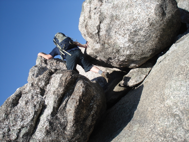
Getting down off the boulders.
After our visit to the summit, we took the Saddle Trail and Weakley Hollow fire road back down the mountain. It was a long descent and my feet and legs were killing me before we even got halfway down. I had to stop and rest several times even though we were going DOWNHILL! This was partly due to the fatigue of having gone uphill, and partly due to the new stresses on my body of the descent: my leg muscles got tired of working against gravity to keep me upright on the sloping ground, and my toes got mashed against the inside of the toe box of my boots. I was very, very glad to get back to Daniel’s car and sink into the passenger seat. But I was also very glad I’d done the hike. I had a great time. I don’t think I can do that hike too often, but I’m already wanting to go back again and revisit some of the rock scrambles!