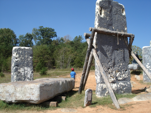
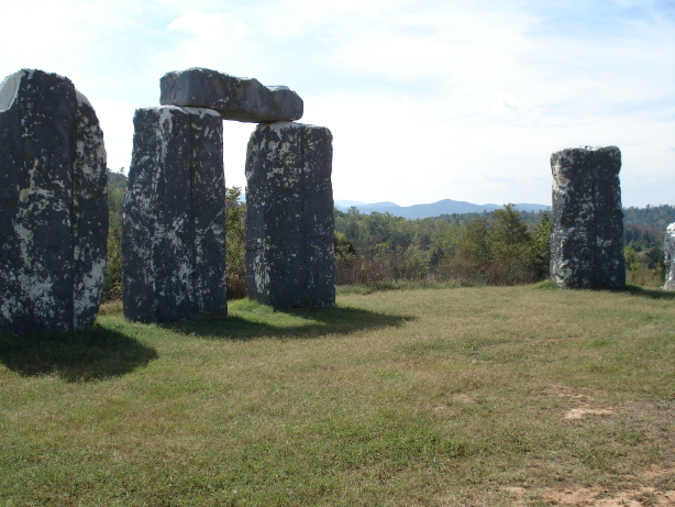
I can’t remember for sure whether I’d heard of the Devil’s Marbleyard before learning that there was a geocache there. The Devil’s Marbleyard is a large boulder field on the side of a mountain south of Lexington, Virginia (and incidentally just a few miles from Balcony Falls, where I had so much fun a few weekends ago). The geocache, which I found listed online, drew my attention to the place and I decided that I wanted to go there. It took a while, but Daniel and I finally found a good weekend for a trip to the “Marbleyard.” We of course picked up the geocache, but mostly spent our time scrambling around on the rocks and taking in the views. We also visited a few other geocaches on the way out and back, including one at a (cheesy but free!) roadside attraction known as Foamhenge.
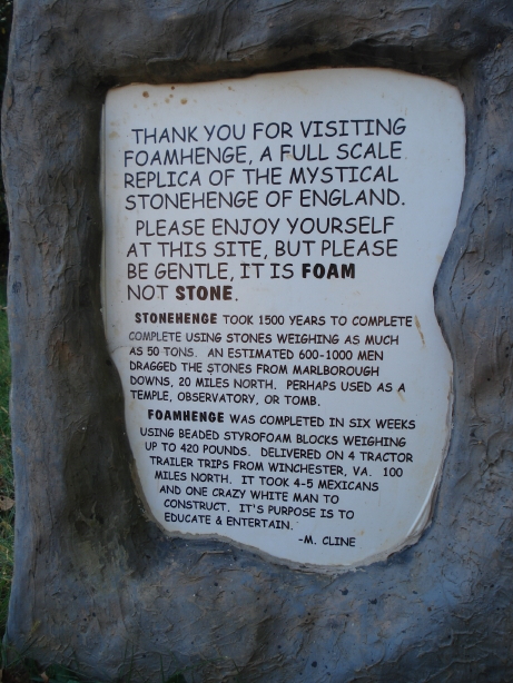
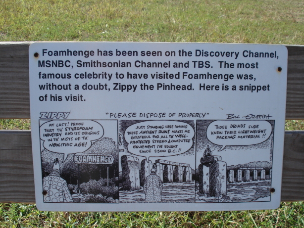
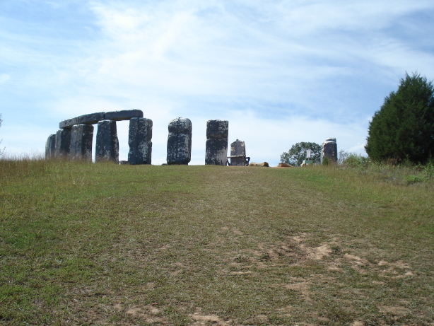
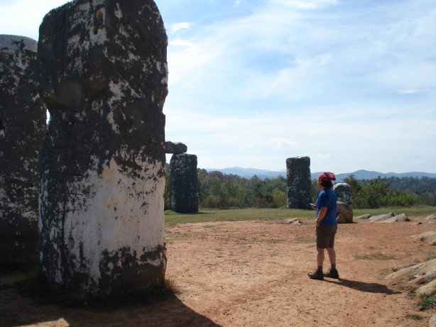
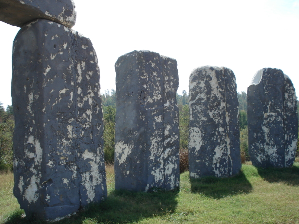
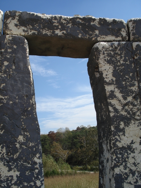
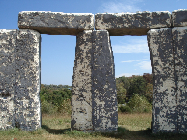
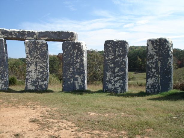
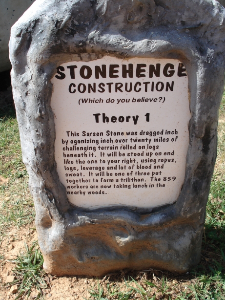
Theory #2: Merlin built it.
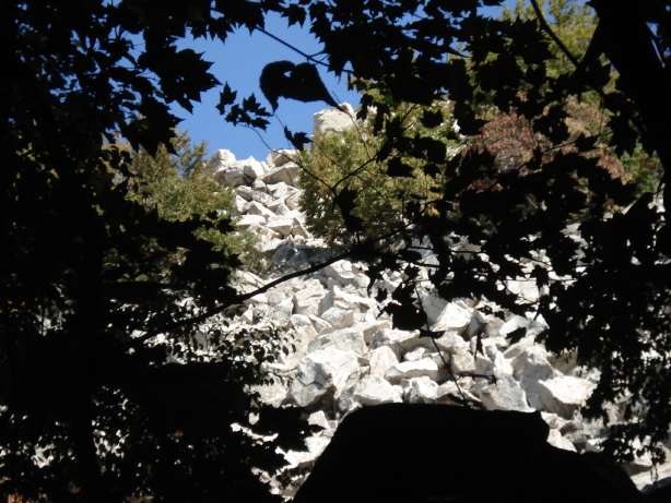
First view of the Marbleyard
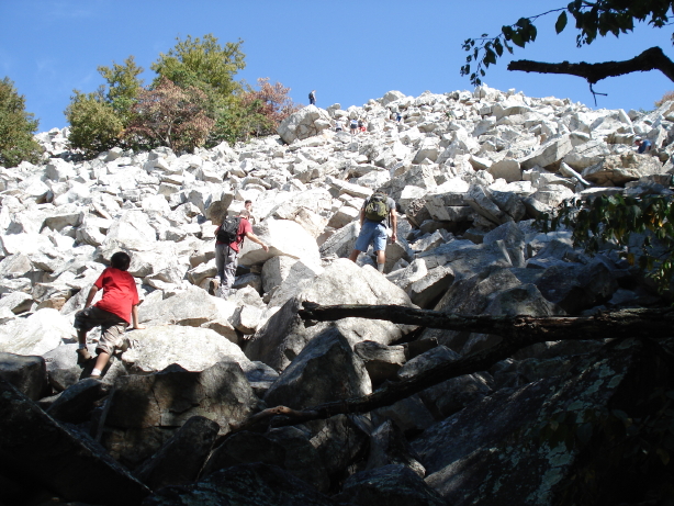
We arrived at the same time as a large group of boisterous boy scouts, and shared the Marbleyard with several of them. Good thing the Marbleyard is big. Shown in this picture is just part of the lowest 15 – 20 percent of the boulder field. What looks like the top or horizon here is just the top of the first rise; there’s a lot more beyond that.
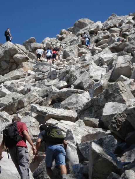
Another picture taken from near the bottom.

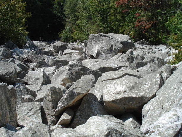
I took this photo relatively early in our climb. Near the bottom of the boulder field, the rocks are relatively small—on average, about the size of a large microwave oven. As you go higher up, the rocks get larger. After the microwave ovens, you clamber over rocks the size of a regular oven, and beyond that you get to the refrigerator-sized rocks, and beyond that, minivan rocks. The rocks are not all consistent in size, and there are some smaller rocks mixed with the larger ones higher up, but the gradation in typical rock size was definitely noticeable. We didn’t climb quite as high as the minivan-rock field but we got within sight of the biggest rocks.
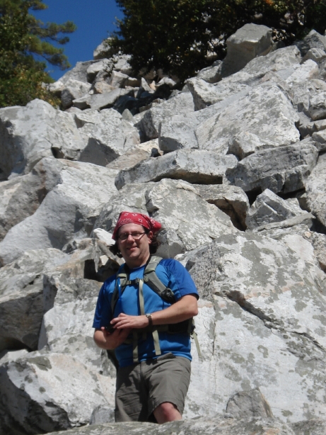
Intrepid Daniel leading the way.
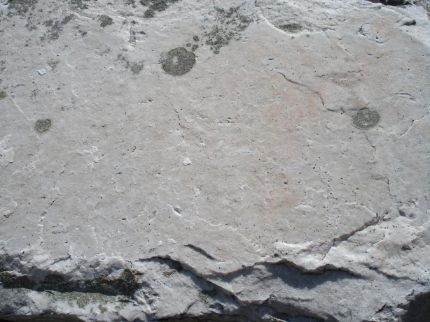
The rock was a hard white sandstone, with pink-tinged areas; Daniel googled the geology later and found out that it was called Antietam quartzite. I was convinced at first that it really was marble; it didn’t have noticeable veins but otherwise looked plausible. It scratched the skin easily and seemed to cut unusually deep; I got a razor-thin, tiny little scratch on my knee that bled more profusely than it looked like it ought to.
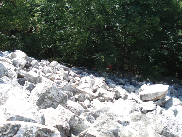
Looking back down from the top of the first rise.
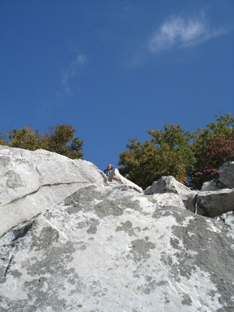
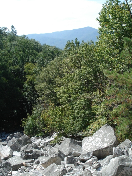
I thought the view from this vantage point was impressive. HA HA HA. As you will see, it was far surpassed by the view from higher up.
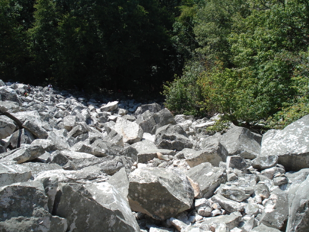
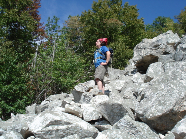
Getting close to the geocache, but not there yet. (It was less than halfway up the slope.)
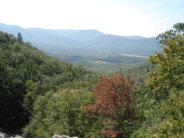
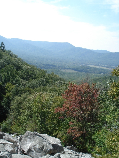
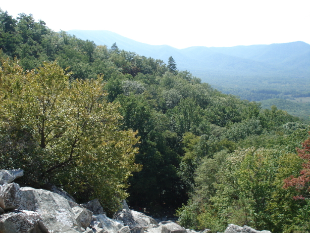
Ah, now there’s a view.
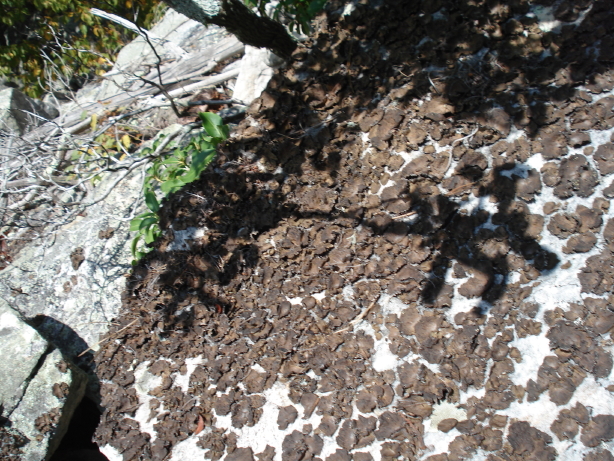
I was impressed by the local lichen. Most of it was flat and blue-green, but we came upon a small patch of this brown, curly stuff.
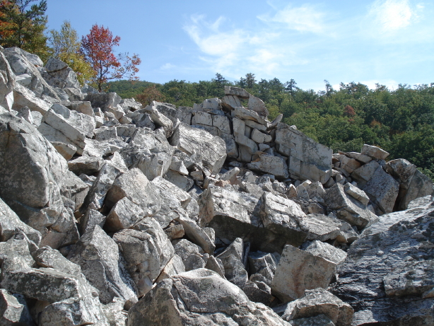
Daniel spotted this rock formation first, and said “That looks like something your dad would like.”
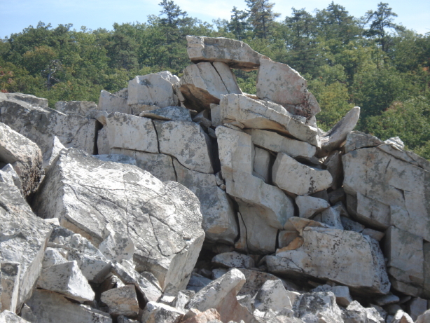
I said “Yep.”
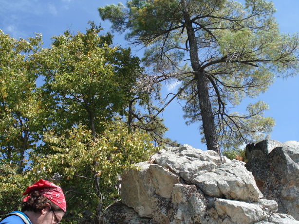
There were a couple patches of trees growing in the midst of the boulders.
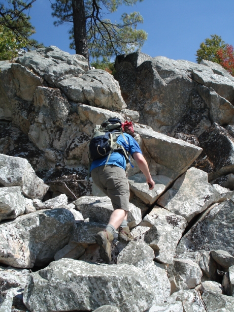
The geocache was hidden near one of the tree-clumps.
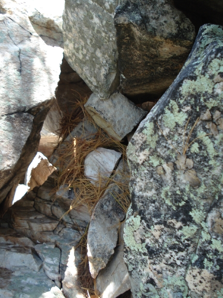
Can you spot the geocache? (I actually took this picture after Daniel replaced the cache and covered it with a bit of “camo.”)
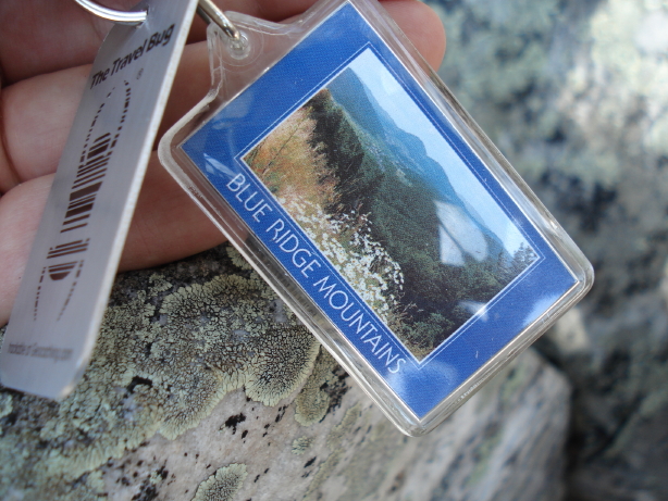
I brought along a brand new “travel bug” to leave in the cache. The metal tag has a code that can be used to track the object online as people move it from cache to cache (provided that they enter the code online and update the travel bug’s records). The Blue Ridge key chain seemed like an appropriate object to release in this Blue Ridge cache.
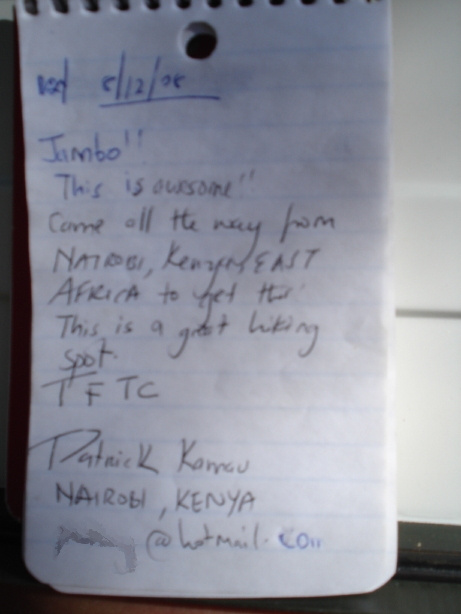
This was my favorite entry in the cache’s logbook. (I intentionally munged part of the guy’s email address for the purpose of publishing the photo online.)
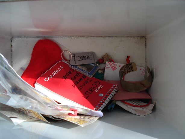
Cache contents, including the new travel bug and a bracelet that I don’t wear any more. As I’ve been sorting through my boxes of old stuff, I’ve pulled out a few items to leave as gifts to other geocachers.
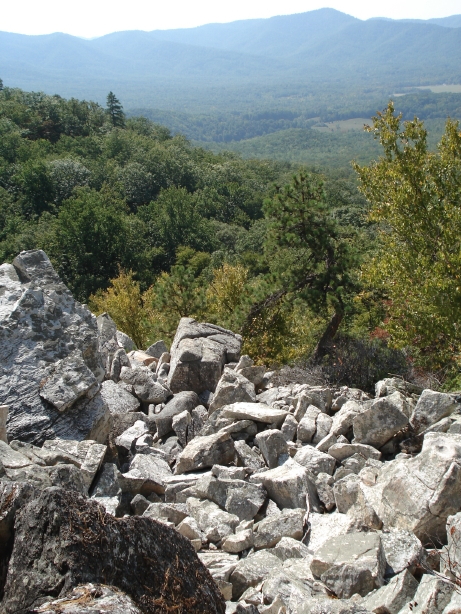
View from the cache site.
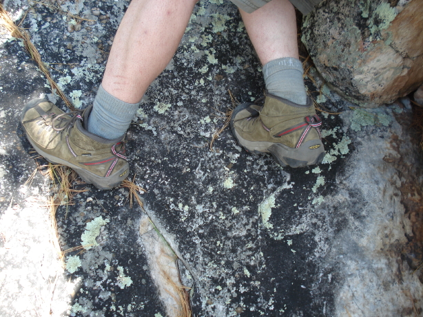
Hard to tell from the picture, but that rock face is at a greater than 45 degree angle. Daniel manages to cling on with the soles of his hiking boots. Go hiking boots!
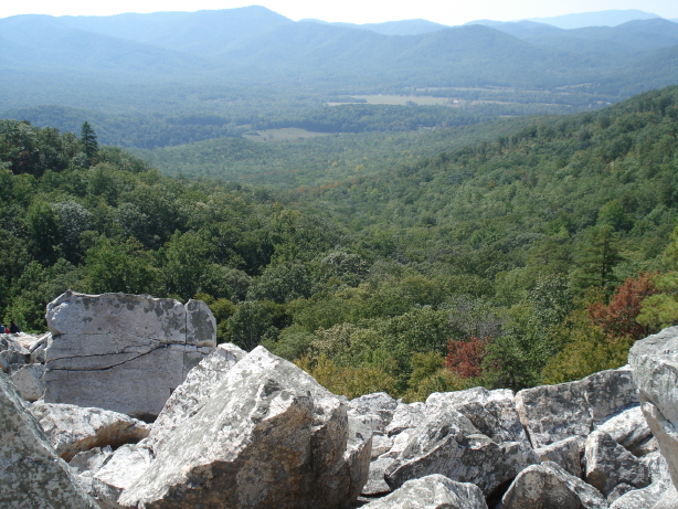
View from even higher up on the Marbleyard. The climb was so worth it! On most mountain faces around here, trees block your view as you climb, but in the Marbleyard, you can turn around at any time and get a great view.
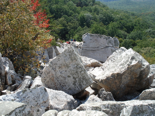
Another photo from fairly high up, looking back down. See the little blue dot near the center of the picture? That’s one of the boy scouts, probably. He’s kind of far away, but still gives you a sense of scale relative to the boulders between us and him, as do the trees on the left.
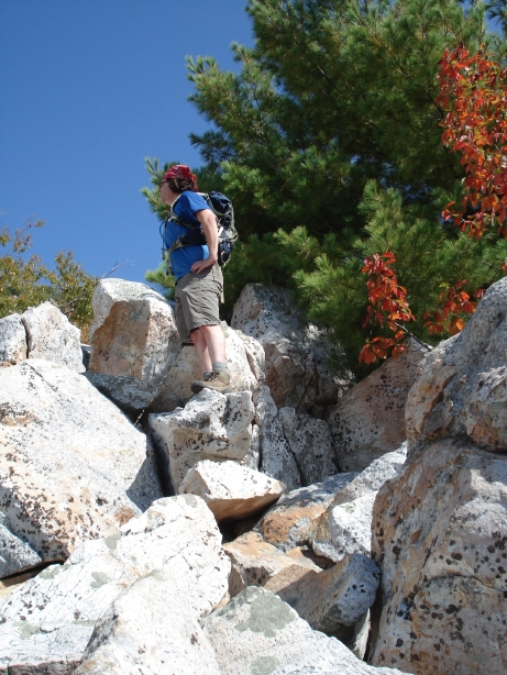
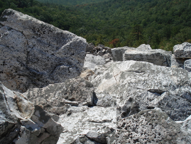
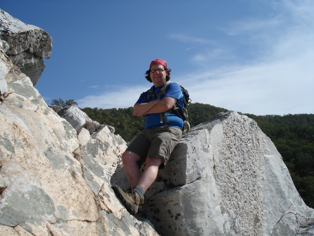
Daniel, triumphant, resting at the top of his climb. That’s a mountain ridge behind him. The Marbleyard continued even higher, but I was having a harder and harder time scrambling up, over, around, and between the boulders as they got close to automobile-sized. So I requested that we turn around at this point and head back down. We had a great time and didn’t regret not making it to the very top of the Marbleyard. It was still a workout!